
Benefits in Mapping Soil during Seeding:
Advantages of Soil Mapping during Seeding:
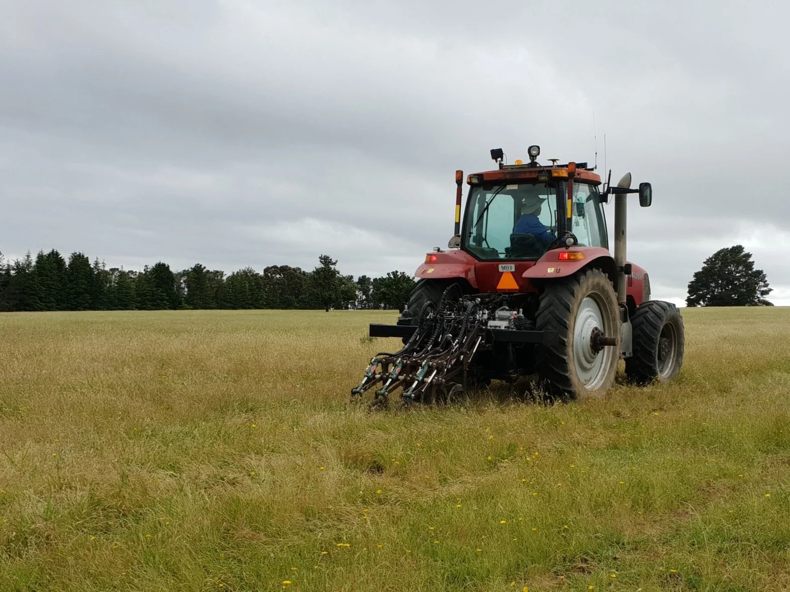
Seeding represents the sole instance in a No-Till cropping process where the soil is exposed.
Eliminates the need for a separate task to access the field for soil sampling.
Avoids dependence on Spatial data mapping, which solely captures surface biomass.
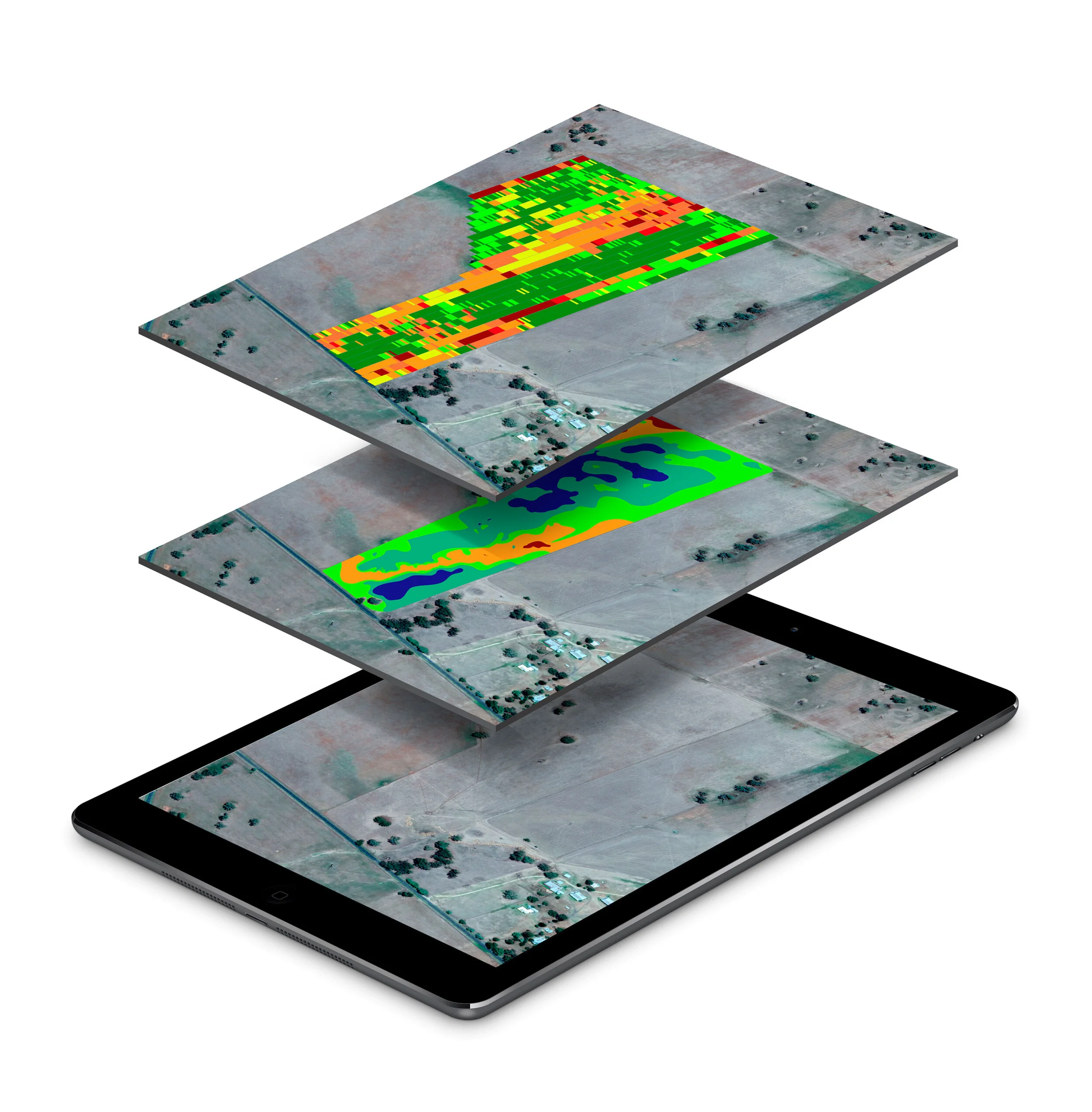
Collected data maps seamlessly integrate into an existing Canbus/Isobus operating software platform, facilitating easy data overlay with Variable Rate and Yield map data.
Soil mapping during seeding offers several advantages in agricultural practices, particularly in the context of No-Till cropping operations. This summary will delve into the benefits of this technique, highlighting its role in optimizing soil management and enhancing overall crop productivity.
Seeding is a crucial stage in the No-Till cropping process as it is the only time when the soil is exposed. Taking advantage of this opportunity to conduct soil mapping can provide valuable insights into soil conditions and composition, which can significantly influence the success of the crop. By mapping the soil during seeding, farmers gain a comprehensive understanding of the soil's characteristics and can make informed decisions regarding nutrient management, irrigation, and other essential factors.
One significant advantage of soil mapping during seeding is the elimination of the need for a separate task to access the field for soil sampling. Traditionally, farmers would have to allocate additional time and resources to collect soil samples from the field, often involving labor-intensive procedures. However, by integrating soil mapping into the seeding process, farmers can efficiently gather soil data without the need for a separate sampling task. This streamlines the workflow, saves time, and reduces the overall workload for farmers and agricultural professionals.
Another notable benefit is the avoidance of dependence on spatial data mapping that solely captures surface biomass. While spatial data mapping can provide useful information about the above-ground biomass, it often lacks comprehensive insights into the soil's composition and variability. By conducting soil mapping during seeding, farmers can obtain a more comprehensive understanding of the soil's characteristics, including nutrient content, moisture levels, and organic matter distribution. This information is critical for making informed decisions regarding fertilizer application, irrigation scheduling, and other soil management practices.
Furthermore, the collected data maps from soil mapping can seamlessly integrate into an existing Canbus/Isobus operating software platform. This integration allows for easy data overlay with Variable Rate and Yield map data, enhancing the precision and efficiency of crop management. By combining soil data with other relevant information, farmers can implement variable rate applications, adjusting seeding rates and fertilizer application based on the specific needs of different soil zones. This targeted approach optimizes resource allocation, reduces input costs, and maximizes crop yields.
The integration of soil mapping data into the existing software platform also offers enhanced data management capabilities. Farmers can organize and store the collected data within the platform, facilitating data analysis, comparison, and future decision-making. The ability to overlay soil data with other crop management data allows for comprehensive field analysis, identifying patterns, and optimizing crop performance over time.
In summary, soil mapping during seeding provides significant advantages in No-Till cropping operations. By taking advantage of the exposed soil during seeding, farmers can gather valuable data on soil characteristics and composition without the need for separate soil sampling tasks. This approach eliminates redundancy, saves time, and streamlines the workflow. Additionally, soil mapping allows for a comprehensive understanding of the soil's properties, enabling informed decisions on nutrient management and irrigation practices. The integration of soil mapping data into existing software platforms facilitates data overlay with Variable Rate and Yield map data, optimizing resource allocation and maximizing crop productivity. Overall, soil mapping during seeding enhances soil management practices and contributes to sustainable and efficient agricultural operations.